Now Reading: Pakistan to Launch Remote Sensing Satellite on July 31 for Precision Agriculture and Disaster Management
- 01
Pakistan to Launch Remote Sensing Satellite on July 31 for Precision Agriculture and Disaster Management
Pakistan to Launch Remote Sensing Satellite on July 31 for Precision Agriculture and Disaster Management

Pakistan’s Remote Sensing Satellite Launch Set for July 31
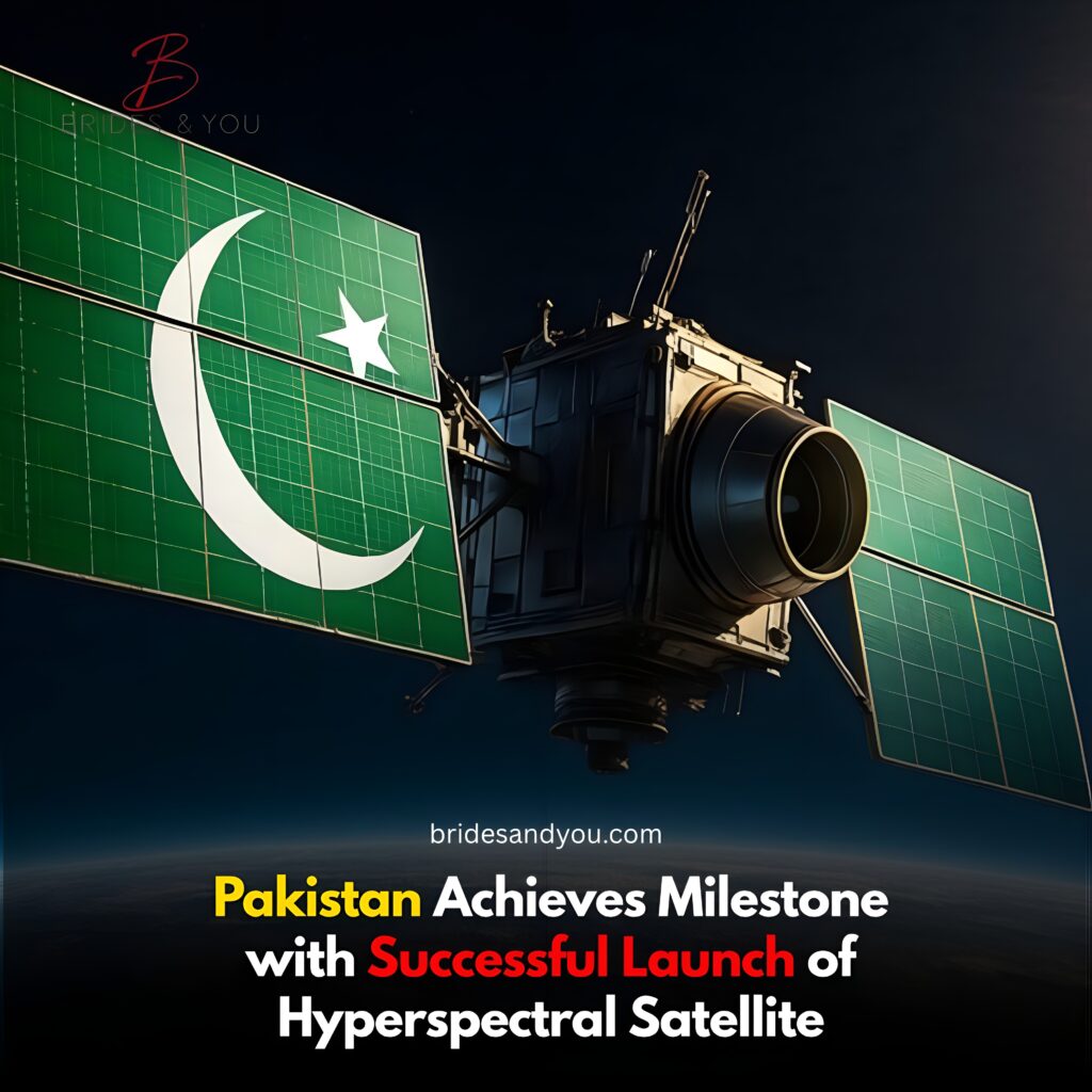
The Pakistan Space & Upper Atmosphere Research Commission (Suparco) has officially announced the remote sensing satellite launch scheduled for July 31, 2025. The satellite will be launched from the Xichang Satellite Launch Center (XSLC) in China.
This launch is a major step in Pakistan’s growing space programme and will strengthen its Earth observation capabilities.

Remote Sensing Satellite to Support Precision Agriculture in Pakistan
One of the key purposes of this satellite is to support precision agriculture. By providing high-resolution images and data, the satellite will help farmers:
- Monitor crop health
- Optimize irrigation and fertilizer use
- Improve yield and reduce waste
This is especially important for a country like Pakistan, where agriculture plays a central role in the economy.
Enhancing Disaster Management with Satellite Technology
The satellite will play a big role in disaster management. It will:
- Provide early warnings for floods and landslides
- Monitor glacier melting in northern areas
- Track earthquakes and deforestation
By getting timely data, authorities can make faster decisions and take action to reduce damage and protect lives.
Boosting Infrastructure and Urban Planning
Another major benefit of this launch is better monitoring of infrastructure development and urban expansion. The satellite will help:
- Map transport networks
- Track city growth
- Identify areas for regional planning
These features will also support national projects like the China-Pakistan Economic Corridor (CPEC).
Environmental Monitoring and Resource Management
The remote sensing satellite will gather data across varied environmental conditions. This will help in:
- Observing climate changes
- Managing natural resources
- Supporting long-term environmental policies
This makes the satellite a key tool for sustainable development.
Suparco’s Vision and Pakistan’s Growing Space Power
This launch follows the earlier deployment of PRSS-1 in 2018 and EO-1 in January 2025. Together, these satellites will create a strong space-based infrastructure for Pakistan.
The project is part of Suparco Vision 2047 and aligns with the National Space Policy. It aims to position Pakistan as a leader in space technology and innovation in the region.
Conclusion
The upcoming remote sensing satellite launch is a proud moment for Pakistan. It shows strong progress in space technology and will provide real benefits in agriculture, disaster response, planning, and environment.